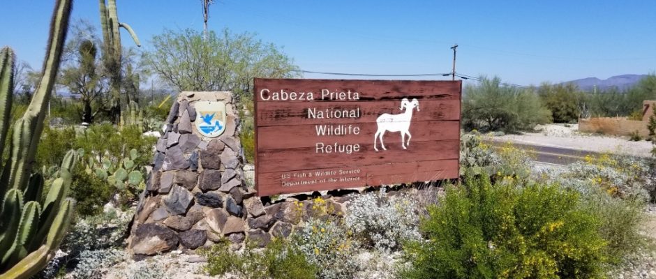
Cabeza Prieta National Wildlife Refuge
March 28, 2019
Cabeza Prieta National Wildlife Refuge offers excellent opportunities to explore one of the most biologically diverse deserts in this country.
In 1774 Spanish conquistador Juan Bautista de Anza pioneered a 130 mile route fromSonoyta Mexico to the Colorado River crossing near present day Yuma Arizona known as El Camino del Diablo (the Devil’s Road). Hundreds perished along this route choosing desert heat as a more manageable risk than marauding Apaches further north. The 1849 California gold rush served to only increase traffic.
With the arrival of the railroad in the 1870’s, human visitation to the area waned. In 1939, the area was designated a “Game Range” for the conservation and development of natural wildlife resources. By presidential order in 1941, the lands were designated for use by the US Army Air Corps to train World War II pilots. This brought upon a complex co-management of the lands by the US Department of Defense and US Fish & Wildlife Service continuing to this very day.
In 1975, this Game Range was renamed the Cabeza Prieta National Wildlife Refuge becoming the 3rd largest refuge in the United States.
Who was Charlie Bell? He’s presumed to be a local rancher in which the name-sake passand well are named after. I couldn’t track down any specific information and NWR Rangers and Volunteers didn’t know. I didn’t notice any homestead ruins or foundation remains when we explored the petroglyphs around Charlie Bell Well. I did turn up information on rancher Charlie Bell from the Sedona/Wet Beaver Creek area. Could they be one in the same person?
Charlie Bell Road
The most used entry into the Cabeza Prieta National Wildlife Refuge is via Charlie Bell Road (32.401, -112.932 ), starting in Ajo along AZ 85, but all prospective visitors must first stop at the refuge headquarters to acquire a free permit, be instructed about the multiple dangers ahead, and sign a disclaimer form (‘Military Hold Harmless Agreement’), absolving the authorities of any responsibility in the event of accident. Charlie Bell Road is generally suitable for 2WD vehicles for the first 16 miles or so, as far as the Growler Mountains. However 4WD High Clearance vehicles are recommended.
Visitor Center:
1611 North Second Street
Ajo, AZ 85321
Phone: (520) 387-6483
GPS: 32.385579, -112.872383.
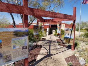
Cabeza Prieta National Wildlife Refuge visitor center is located in Ajo, Arizona. It is open Monday through Friday from 8am to 4pm. Here, refuge staff and volunteers are available to provide you with maps, brochures and checklists and let you know what’s happening on the refuge. This is also where the business of the refuge is conducted.
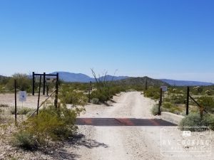
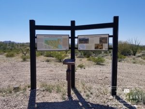
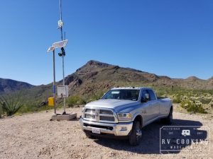
From the visitor center travel 1/4 miles north on Hwy 85 until you reach Rasmussen Road. Travel west along Rasmussen Road which will eventually become Charlie Bell Road. Having traveled about 4.25 miles from Hwy 85, you will come to Cabeza Prieta Wildlife Refuge boundary. Cross the cattle guard and enter the wildlife refuge where there is a registration center.
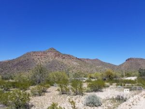
Childs Mountain dominates your view to the north. You should be able to spot brilliant white radar installations on Childs Mountain. This is a reminder of the interwoven coexistence between National Wildlife Refuge and the Department of Defense.
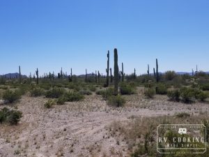
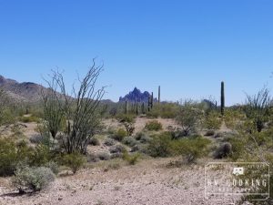
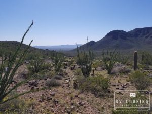
As you pass between the gap of Childs Mountain (to the north) and Cardigan Peak (to the south) you enter an area with an extensive stand of wildflowers and lush saguaro forest.
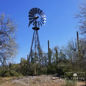
At about 5.25 miles from Hwy 85, Charlie Bell Road will veer sharply to the south following a wash. At about mile 7.5 you will reach a Y-intersection with Copper Canyon Loop Road. The sign will point you west along Charlie Bell Road towards a windmill and well.
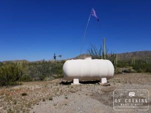
At about mile 8.0 you will reach Little Tule Well. A water thank for those in need traveling in across the desert from Mexico (i.e. Illegal Aliens).
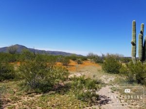
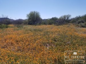
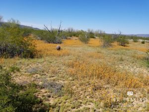
As you leave Tule Well, the saguaro forest will begin to thin out being replaced by hedgehogand barrel cactus. We were fortunate on this late March day as many cacti were beginning to bloom and there were fields of wildflowers.
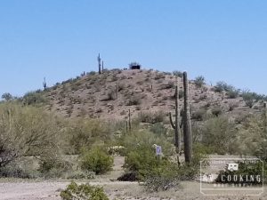
Near mile 11.0, you will notice a small hill to the south with an observation blind at its crest.
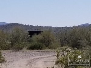
This is Pack Rat Hill where an ongoing Sonoran Pronghorn wildlife management operation is in progress. You will notice a black tarpaulin radiating from the hill a parallel to Charlie Bell Road. This is a one-square mile semi-captive breeding enclosure to help re-establish the Sonoran Pronghorn population.
The 2002 drought wiped out 80% of the Sonoran Pronghorn population leaving only 21 animals within the refuge.
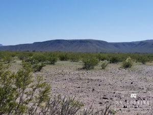
Open grassland dominates the topology and the road soon changes from the rough rocky gravel to sandy conditions. This creates ideal conditions for the Ajo Lily.
At mile 14.5 Charlie Bell Road will pass Daniel’s Arroyo Road (no public access) and at mile 15.0 it will pass Jack’s Well Road (no public access). Charlie Bell Road will slowly climb Daniel’s Arroyo, the last mile is really rocky and is pretty ruff. You will notice a gap inthe Growler Mountains to the west. This is Charlie Bell Pass.
Near mile 16.5 you will crest Charlie Bell Pass. (GPS coordinates for the trail head at Charlie Bell Pass are 32.023.635’N, 113.005.141’W.) Trail Head parking is available if you wish to explore the many petroglyphs within Growler Valley.
************************************************************************
This post contains affiliate links, so I make a small commission if you purchase through my links – that support helps to keep this blog running.
Copyright Foodie Made Simple, LLC. All text, recipes and photographs are copyrighted and may not be published elsewhere without express permission. Pinterest, Twitter, Instagram, Tumbler, Google+ and Facebook users, you are welcome to “pin” photos! re-tweet and “share” links all you like, just don’t copy the recipes themselves. Fellow bloggers are welcome to repost my recipes, just write the recipe in your own words, use your own photograph, then link back to the original recipe on rvcookingmadesimple.com


Comments are closed.